


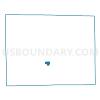
FREEPORT 20 Voting District, Stephenson County, Illinois
About
Outline

Summary
| Unique Area Identifier | 574775 |
| Name | FREEPORT 20 Voting District |
| County | Stephenson County |
| State | Illinois |
| Area (square miles) | 1.02 |
| Land Area (square miles) | 1.02 |
| Water Area (square miles) | 0.00 |
| % of Land Area | 100.00 |
| % of Water Area | 0.00 |
| Latitude of the Internal Point | 42.29477280 |
| Longtitude of the Internal Point | -89.67654600 |
Maps

Graphs
Select a template below for downloading or customizing gragh for FREEPORT 20 Voting District, Stephenson County, Illinois


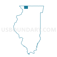
Neighbors
Neighoring Voting District (by Name) Neighboring Voting District on the Map
- FLORENCE 1 Voting District, Stephenson County, IL
- FREEPORT 15 Voting District, Stephenson County, IL
- FREEPORT 16 Voting District, Stephenson County, IL
- FREEPORT 19 Voting District, Stephenson County, IL
- FREEPORT 21 Voting District, Stephenson County, IL
- HARLEM 1 Voting District, Stephenson County, IL
Top 10 Neighboring County Subdivision (by Population) Neighboring County Subdivision on the Map
- Freeport township, Stephenson County, IL (25,638)
- Harlem township, Stephenson County, IL (2,275)
- Florence township, Stephenson County, IL (1,293)